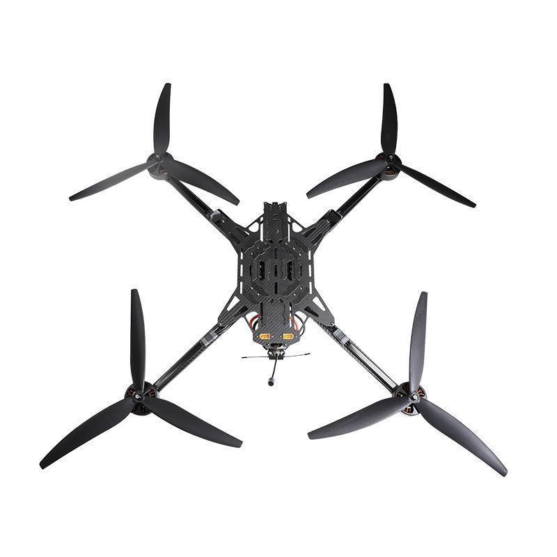
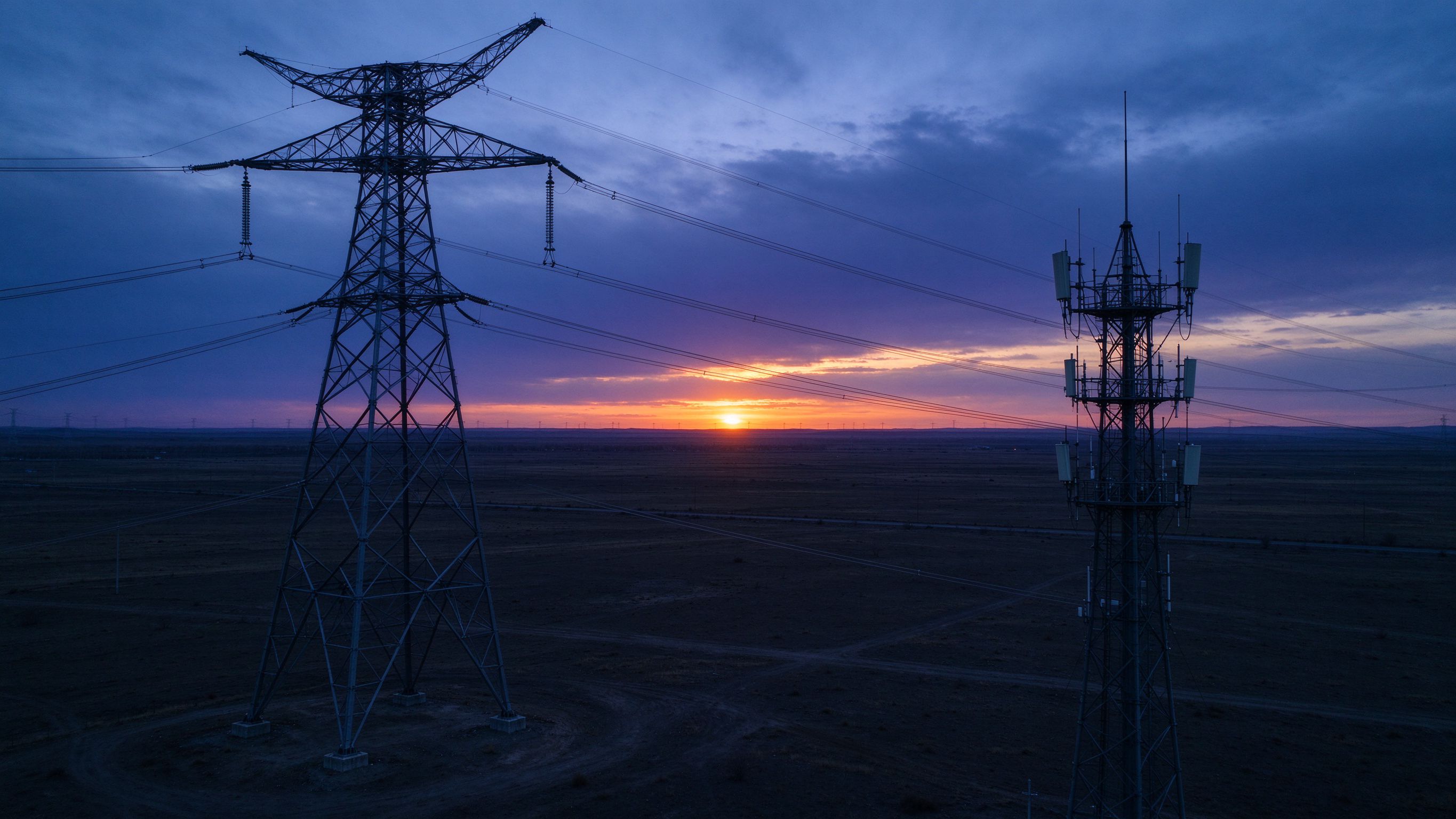
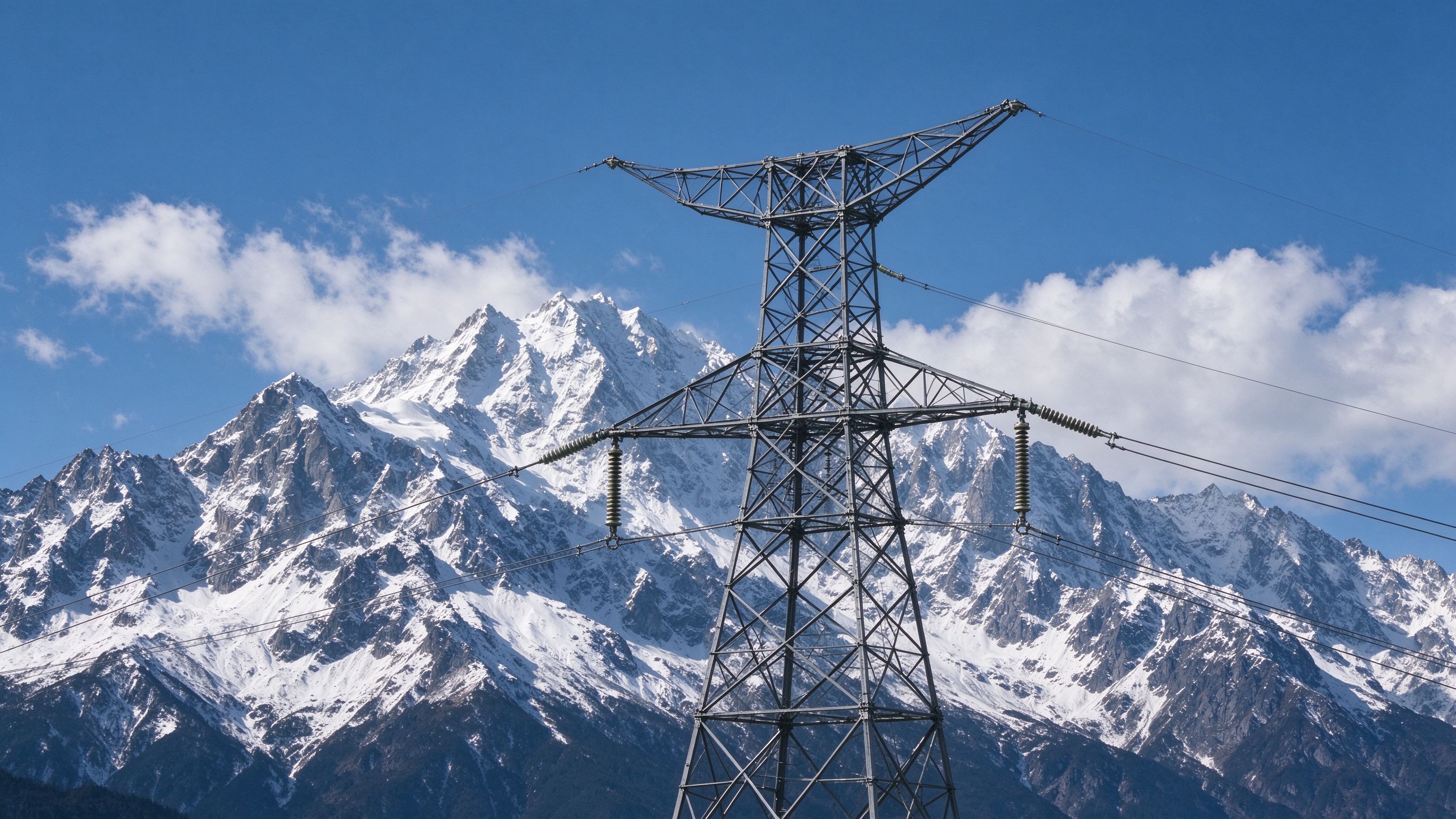
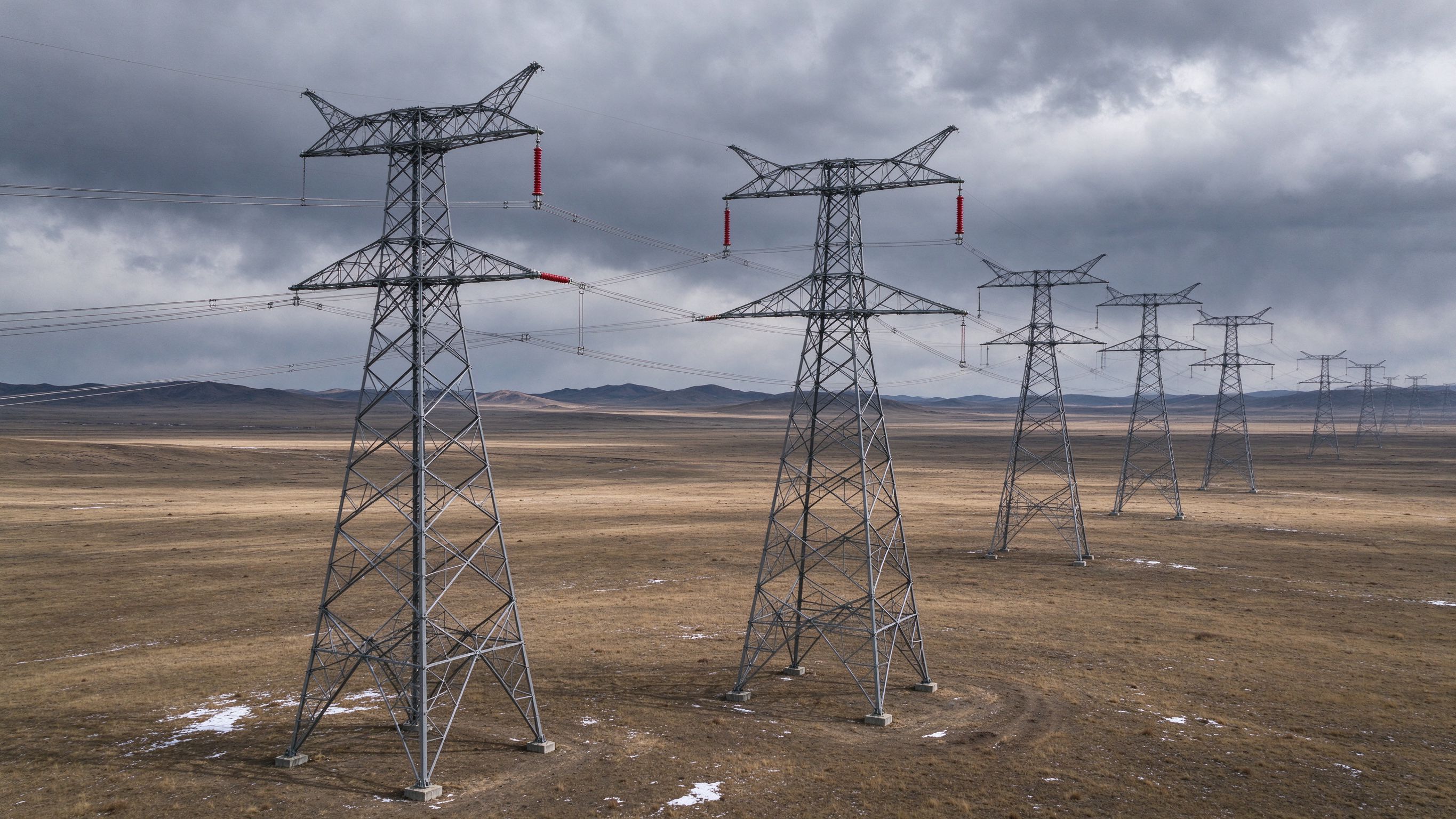
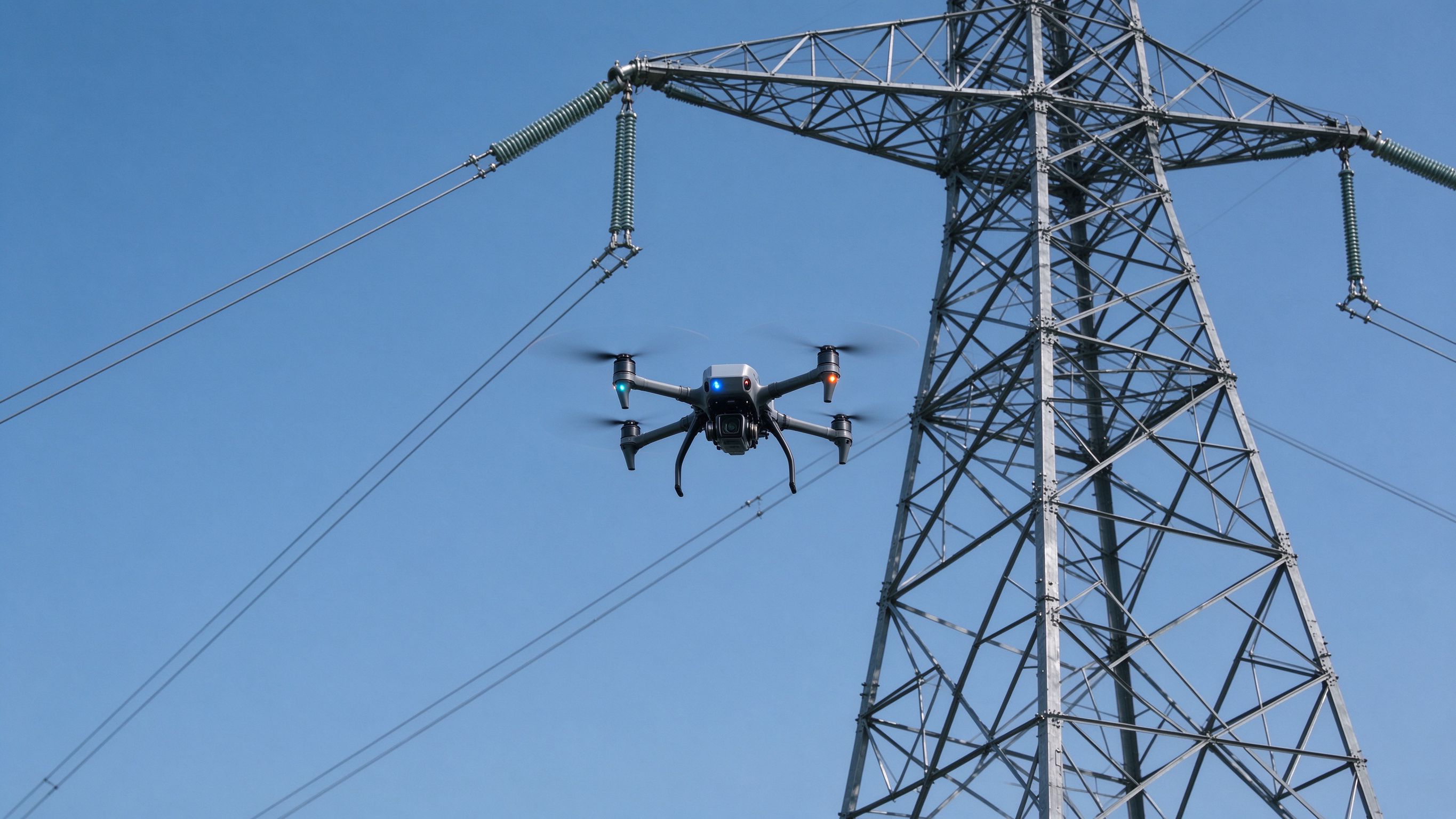
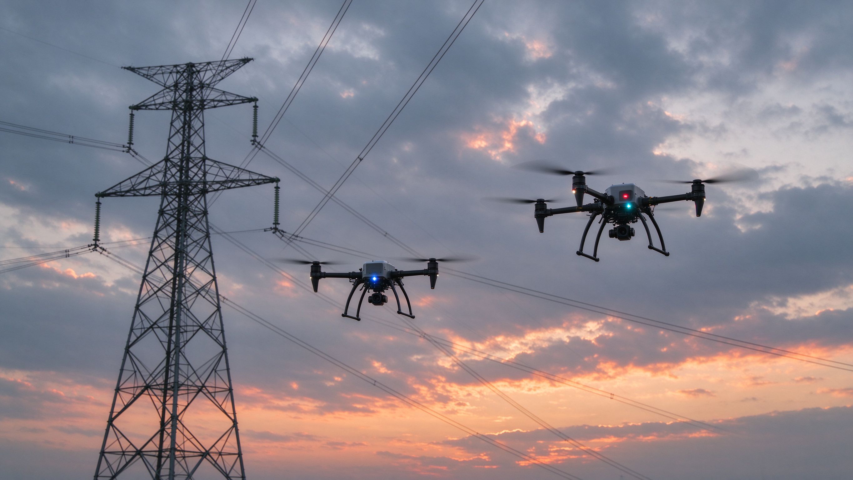
Many defects invisible to visible light can be solved with drones equipped with thermal cameras. Typical overheating or abnormal temperature can be quickly compared and located by temperature values and image features.
←Capture visible and thermal images at the same waypoint to locate overheating fast.
Fly close to the tower from multiple angles to inspect hidden hotspots.
Thermal images show temperature values and features to compare and confirm defects.
Tower types vary and inspection covers complex hardware, insulators and conductors. Any tiny defect may cause line faults or power loss. FEICHI drones enable refined autonomous inspection of transmission towers — find and fix problems in time.
←Plan routes to inspect every fitting, insulator and conductor precisely.
Keep safe distance at high voltage while capturing tower number plates clearly.
Build digital models of the corridor for asset management and reuse.
With the rapid development of the power industry, digital transformation is key. Using FEICHI drones, tower coordinates and line model libraries can be built, providing key data for visual archiving, autonomous flight and digital-twin construction.
←Capture the whole corridor efficiently with LiDAR payloads.
Standard point clouds support grid visualization and archiving.
Provide key data for autonomous flight and digital twins.
FEICHI drones carry multiple sensors to synchronize visible and thermal information, helping digitize grid assets and reduce cost while raising efficiency.
←One flight captures both spectrums for comprehensive corridor status.
Cover more corridor per flight with fewer takeoffs.
Archive corridor data to build the digital grid.
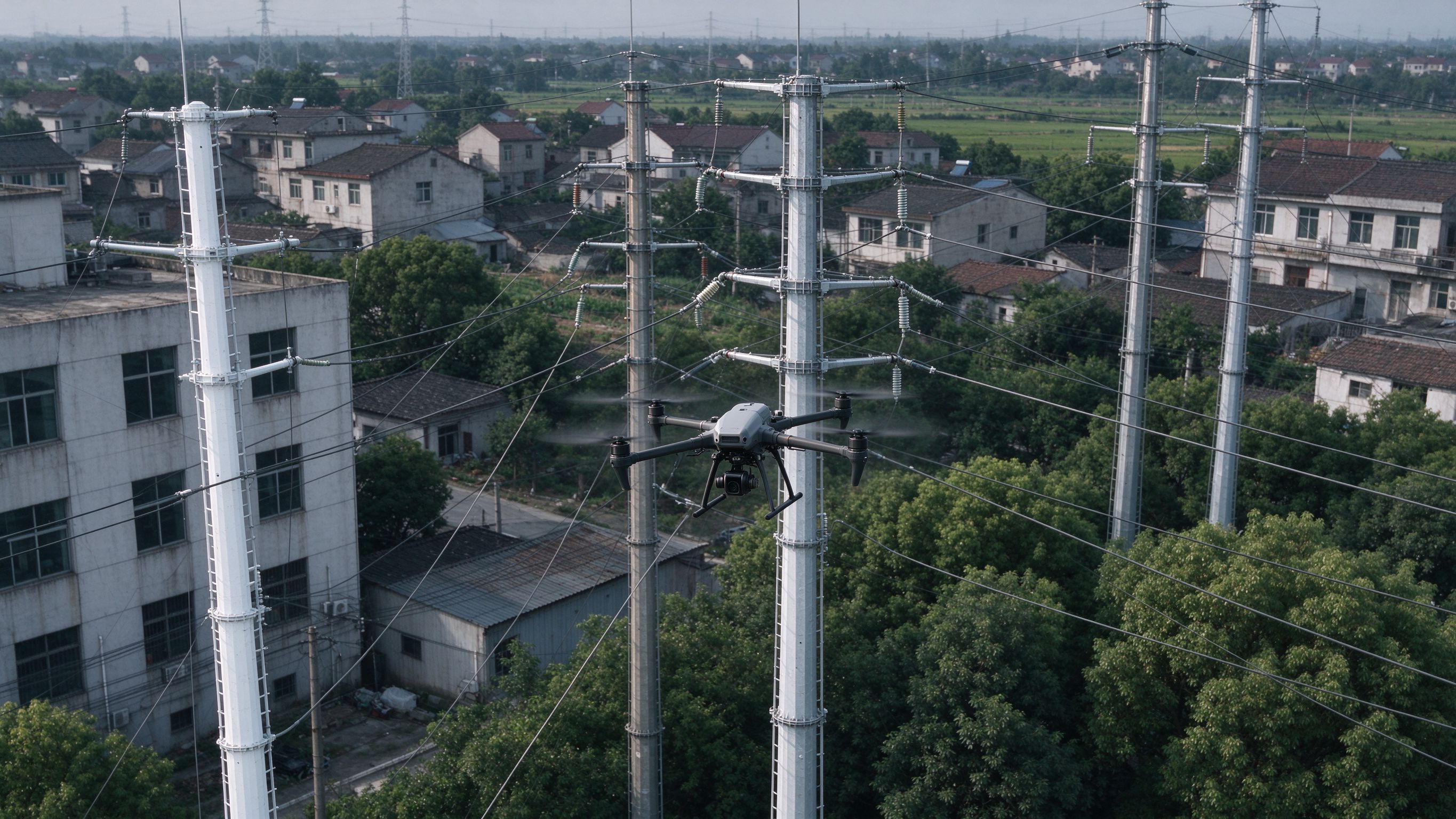
In power-drone applications, small drones are the most numerous and most frequently used. FEICHI teamed up with power-inspection experts and ran multiple patrol scenarios to see what changes the new FEICHI drone brings.
←One-tap refined patrol routes around each tower.
Safe distance, clear details, less flight time.
4G-assisted link keeps control in complex environments.
Front-line pilots from a southern power-supply bureau share their real hands-on experience using FEICHI drones for power patrol.
←Fly the same route for comparison shots.
Observer and pilot cooperate efficiently.
Stable link in complex terrain.
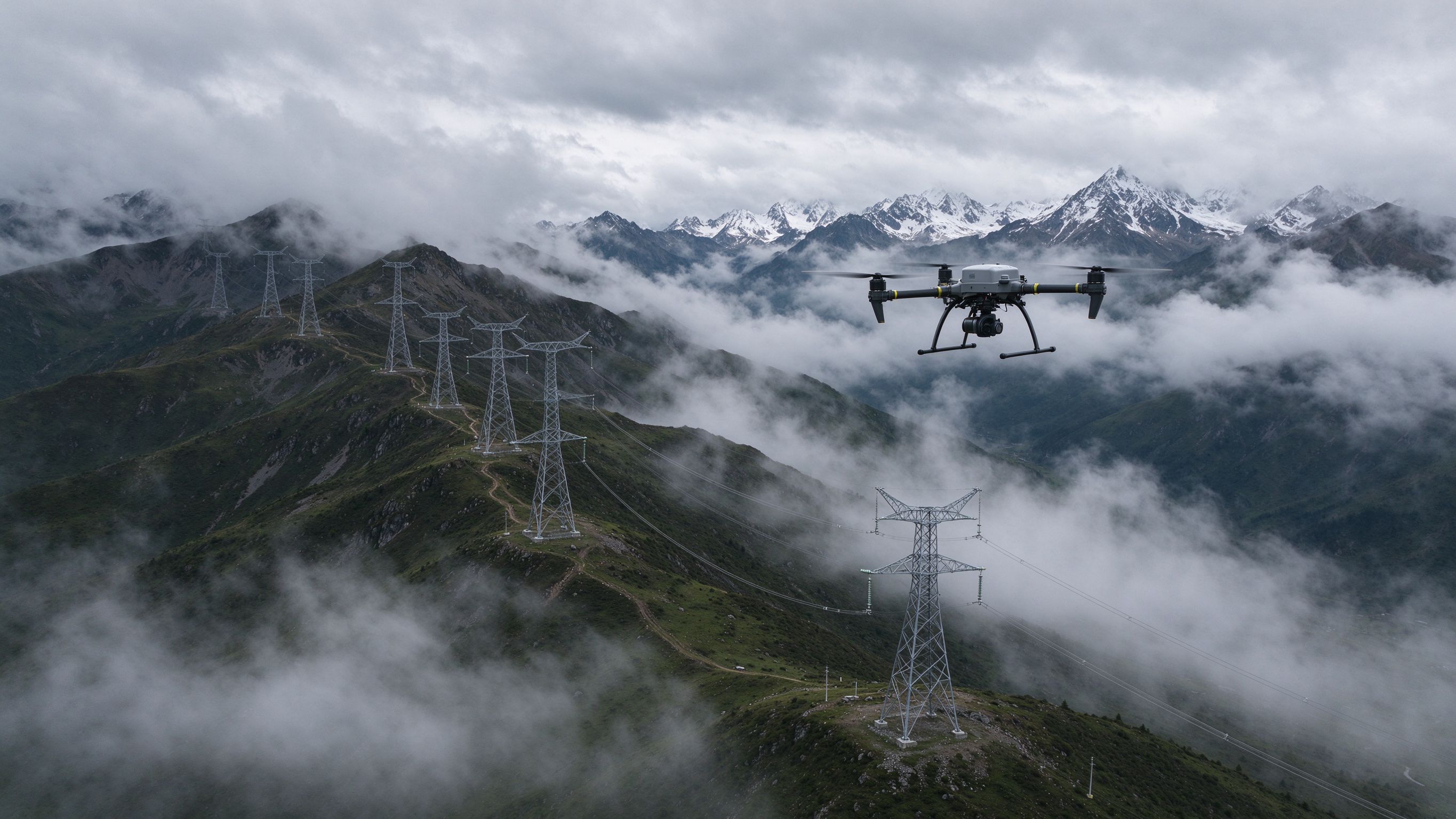
FEICHI drones master high-plateau power patrols — stable flight, strong wind resistance and long endurance in harsh environments.
←Powerful motors handle thin air.
Stable hover in cloud and fog.
Cover mountain corridors efficiently.
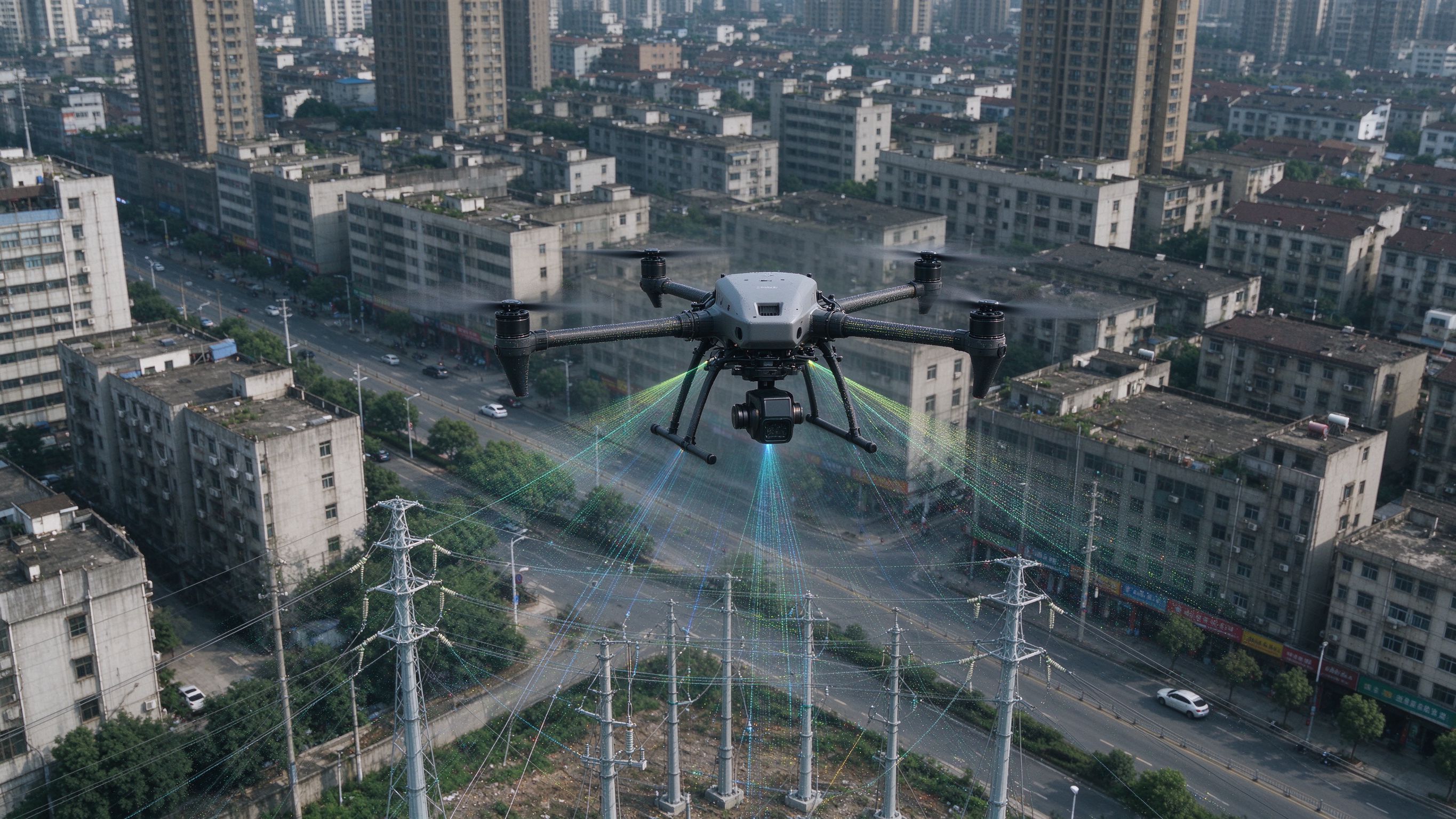
FEICHI LiDAR payload demo — capture a 2 km urban distribution corridor in 10 minutes and build a standard point-cloud model.
←Dense point clouds of poles, wires and structures.
Standard outputs ready for grid applications.
Data foundation for urban distribution management.